One last trick up my sleeve –
How OS Maps can help keep daily exercise fresh
I’m not sure there is an inch of our town I don’t know by now. Daily exercise has necessitated the challenge of finding every which way to the park. Which park? All eight or so of them. We’ve stumbled upon a natural spring, a hidden shady spot, and some of the most beautiful views on our adventures. The outdoors has certainly been the saviour of our sanities. But the walks did get old and the usual tricks of distraction did lose their shine and we are not out of the woods, so to speak, just yet!
All the old tricks
As the past twelve months have progressed, I found our daily walks needed an extra challenge. With a young giant breed dog and short eight-year-old legs, we could only challenge ourselves to about three to fours miles distance. We completed the distance challenge pretty early on. We then moved on to find all of the teddy bears in windows, all of the Julia Donaldson/ Axel Scheffler pictures people kindly posted along two different routes (one with original tongue in cheek verse), and all of the knitted and crocheted fairy houses nestled in tree branches along another route. We identified flowers all last spring, animals tracks in the mud in autumn, birds this past winter. I ran out of tricks.
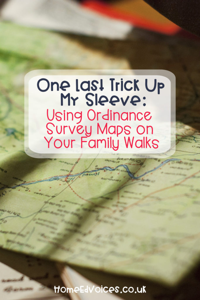
Save the best for last
Now, if you are a smart cookie, you probably started lockdown with an Ordinance Survey map. But my sense of direction, time and distance are all pretty hopeless so I’m not sure an OS map would have changed anything for us in the beginning. But after months of finding our bearings, the OS map was suddenly easy to read, our usual routes were easy to find and the hidden connections we found between our routes were easy to remember.
We practiced using the map’s scale to estimate the distance of any route before walking it. We then checked our estimate against a pedometer reading after the walk. We practiced using the key by finding features we wanted to include on a walk, then mapping a route, estimating the distance with the scale, and adjusting to suit the dog if need be (we can still just about the carry eight-year-old if we must, but there’s no carrying the 70 kilo St. Bernard). We looked at the contour lines on the map and made an educated guess about how steep the walk would be in places and then walked the route to see if we were right (we usually were because we had already walked the route so many times, but it was worth making the connection).
The next challenge?
Gridlines are the expert challenge of the OS map. Or maybe it just feels that way because I am a newb! Mister Eleven has used gridlines with Scouts and he could surely do with the practice. But I don’t want to wrangle a map whilst simultaneously wrangling a dog. I think the next challenge for me will have to be figuring out how one folds the OS map to make it more managable to walk with.
We hope you’re all fairing well with your daily exercise! Do share your tricks with us in the comments below.